

Mitchell River National Park is one of the jointly managed parks within Gippsland. The Joint Management agreement recognises the fact that the Gunaikurnai people hold Aboriginal Title and maintain a strong connection to Country. As custodians of the land, they are the rightful people who speak for their Country. These parks and reserves are cultural landscapes that continue to be part of Gunaikurnai living culture. For more information on Joint Management, please visit the Gunaikurnai Traditional Owner Land Management Board and the Gunaikurnai Land and Waters Aboriginal Corporation.
![]()
Mitchell River National Park has a rich cultural history that tells of tribal conflict, ceremonies, food gathering, community life and local spirits.
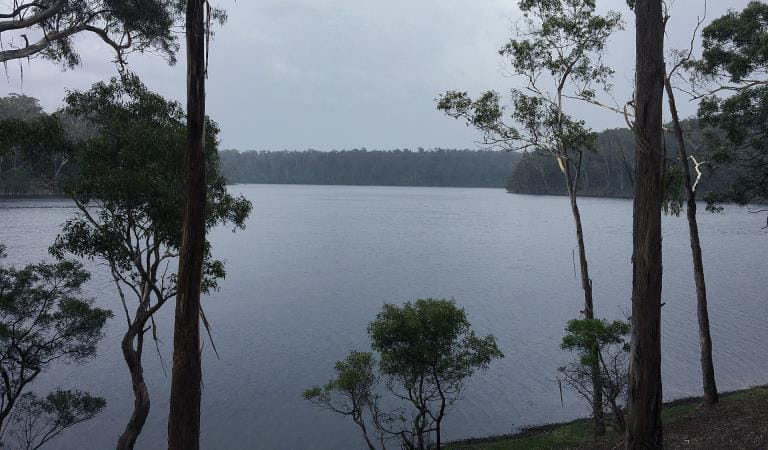
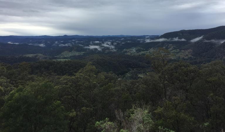
It is rocky country that has rugged gorges and 100 metre sheer drops. Some of these, such as The Bluff, provide 360 degree views that were good lookout points for our ancestors, used for safety and defence.
Mitchell River was a major stop-off point for our old people travelling from the high country to the lowlands. It was at one point going to be the site of the mission, but it was found to be too cold in winter so Lake Tyers was chosen instead. There are important places throughout this park – Angusvale was a good source of food, medicine and materials, and Billy Goat Bend had reliable water. Deadcock Den is important to Gunaikurnai men. There are caves throughout the area that were shelter places and burial grounds where ancestral remains have been found.
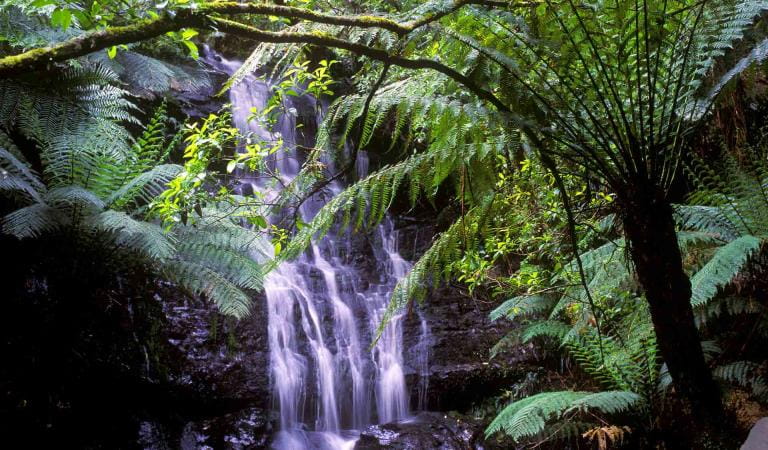
The Den of Nargun
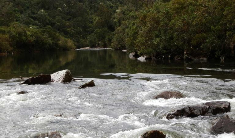
The Den of Nargun, a cave behind a waterfall of the Mitchell River, is a place of great cultural significance to the Gunaikurnai people, especially women.
Stories were told around campfires about how the Nargun – a large female creature who lived in the cave – would abduct children who wandered off on their own. The Nargun could not be harmed with boomerang or spears. These stories not only kept children close to camp, but also ensured people stayed away from the sacred cave.
The Den of Nargun is a special place for women and may have been used for women’s initiation and learning ceremonies.
Source: Mitchell River National Park - Brabralung Country - Gunaikurnai and Victorian Government Joint Management Plan
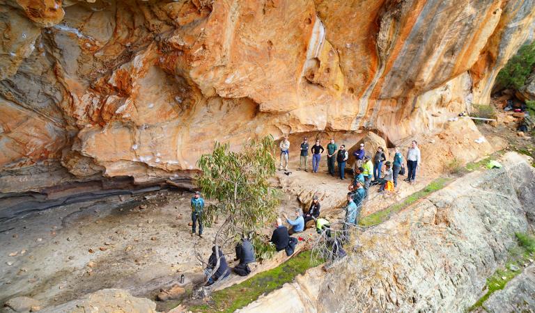
Preserving the past is important to better manage our cultural landscapes. Patrick Mullett is a proud Gunaikurnai man working on Country to manage Aboriginal cultural heritage. He assesses sites and provides advice under the Aboriginal Heritage Act 2006 on how to best protect cultural heritage.
Experience more Aboriginal Cultural Heritage in parks
Victoria's parks provide a range of guided and non-guided experiences that provide unique insights into Aboriginal cultural values and stories.
Cultural Heritage Lake Tyers State Park
Cultural Heritage Tarra-Bulga National Park
Raymond Island Gippsland Lakes Reserve
Aboriginal heritage
The Lakes National Park
Gippsland Lakes Coastal Park
Buchan Caves Reserve

Tower Hill Visitor Centre
Budj Bim National Park
How to get there
Cultural Heritage
Heading west out of Bairnsdale on Main Street/Princes Highway/A1, turn right onto Bairnsdale-Dargo Road/C601 and follow for about 42 kilometres. You can turn right at Wallers Road and follow that to the end to reach the Den of Nargun picnic area. Forr access to Billy Goat Bend camping area, either turn left off Wallers Road and head north along Park Road, or turn right off the Bairnsdale-Dargo Road/C601 onto Billy Goat Bend Road, and follow the signs to the camping area.
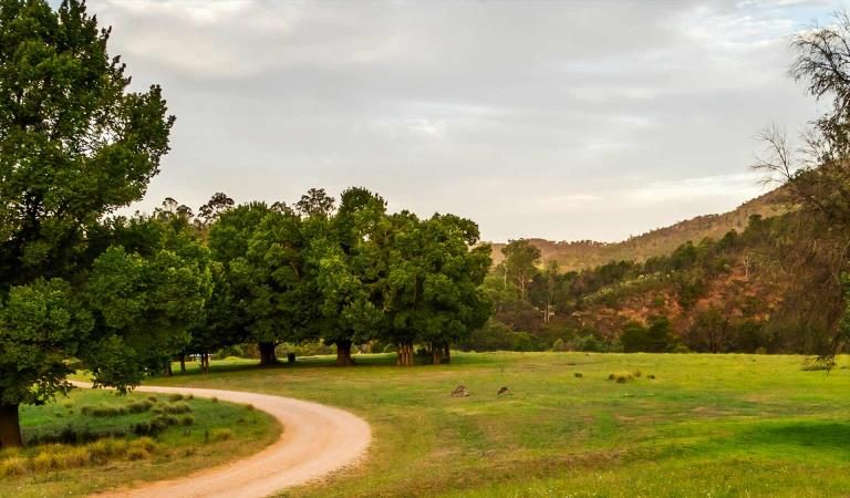
Angusvale campground is located at the end of Mitchell River Road, further north along the Bairnsdale-Dargo Road/C601. Turn right off the C601 and follow the track for 16 kilometres.
To access the eastern side of the park, turn right off the C601 onto Lindenow-Glenaladale Road. Cross the bridge over the Mitchell River and turn left to stay on Lindenow-Glenaladale Road. Turn right at Weir Road and stay on it until you are continuing along Wattle Creek Road and see entry signs to the park.
To visit the Old Weir day visitor site, turn left off Weir Road onto Milton Park Road. Please be aware that the end of this road down into the day visitor site is rated as a Double-Black Diamond 4WD track, and is suitable for experienced four-wheel-drivers only. Visitors can access the site on foot - park your vehicle at the top of the hill and walk approximately one kilometre to the site. Please take plenty of water.
When you're there
Download the Mitchell River National Park visitor guide for more information about the park and a map.
How we keep it special
Mitchell River National Park is on the Country of the Brabralung clan. The park has a rich cultural history that tells of tribal conflict, ceremonies, food gathering, community life and local spirits. The Gunaikurnai and Victorian Government Joint Management Plan provides a description of joint management strategies and actions that are specific to Mitchell River National Park.
Need to know
Cultural Heritage
Accessibility
Visiting a park can be more of a challenge for people with disabilities, however in Victoria there are a wide range of facilities to help people of all abilities enjoy our wonderful parks around the state.
Assistance dogs are welcome in Parks Victoria parks and reserves. Entry requirements apply for parks and reserves that are usually dog prohibited, such as national parks
Driving in the park
All roads and tracks within the park are gravel, with the Mitchell River Road and Wallers Road being readily accessible for most vehicles. All other tracks would require a 4WD to navigate, with varying levels of experience required. Find more safety tips on our Safety in nature page.
Change of Conditions
Nature being nature, sometimes conditions can change at short notice. It’s a good idea to check this page ahead of your visit for any updates.
-
Rock Creek (Mitchell River National Park, Mitchell and Wonnangatta Rivers Heritage River)
Angusvale Track/Horton’s Crossing Closure
Angusvale Track/Horton’s Crossing ClosureDue to storm events, the Angusvale Track past the Rock Creek Camp area has been subject to landslip.This Landslip now prevents vehicles from accessing the ford crossing through the Mitchell River between Angusvale Track and Hortons Track. Please do not attempt to cross the river from Hortons Track as there is no access to the West side of the park from this point.The Rock Creek Camp area is still currently accessible via Angusvale Track/Mitchell Views Track of the Mitchell River Road. -
Angusvale camping area (Mitchell River National Park, Mitchell and Wonnangatta Rivers Heritage River)
Angusvale Campground is being upgraded to improve access and provide a better visitor experience for campers, hikers and paddlers
Gunaikurnai Land and Waters Aboriginal Corporation are delivering further upgrades at Angusvale Campground to improve visitor experience and protect the environment. Upgrades will include new amenities, fencing and revegetation.
Stage Two of works began in February 2026. During this period material will be stockpiled on the project site and there will be trucks and plant working within the campground area and along Mitchell River Road.
When visiting a park where projects are happening, especially during construction, it’s important that people follow the direction of signs, Parks Victoria staff and work crews, and stay out of fenced and restricted areas.
At times river access will be limited. The camping area is open. Check the Mitchell River National Park page for changes to access.
For more information and updates on the project check the Angusvale Campground project page.
Things to do in the area
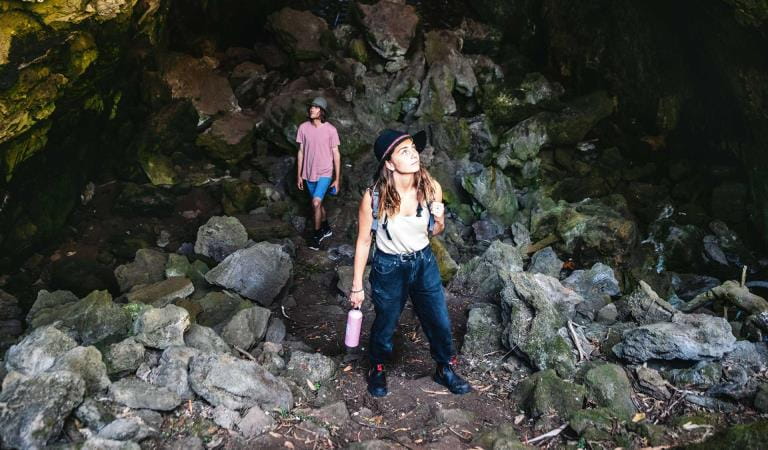
Walking in Mitchell River National Park
Camping at Mitchell River
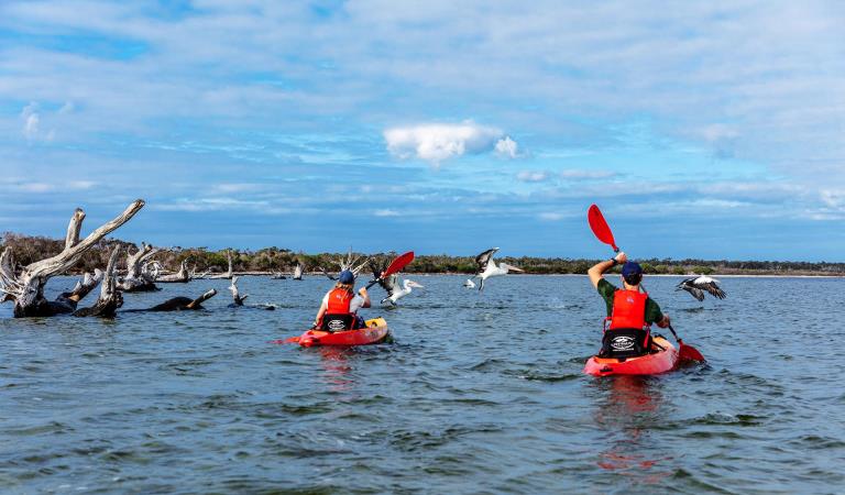
Canoeing and rafting at Mitchell River
Paradise Beach Campground
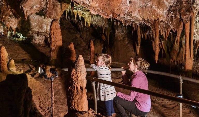
Buchan Caves Reserve