
Explore
Lower Glenelg National Park
The Glenelg River has carved a spectacular limestone gorge through the heart of Lower Glenelg National Park. Immerse yourself in the tranquil beauty of the landscape. Camp riverside and go fishing, paddle the Glenelg River Canoe Trail, follow the Great South West Walk or visit the spectacular Princess Margaret Rose Cave.
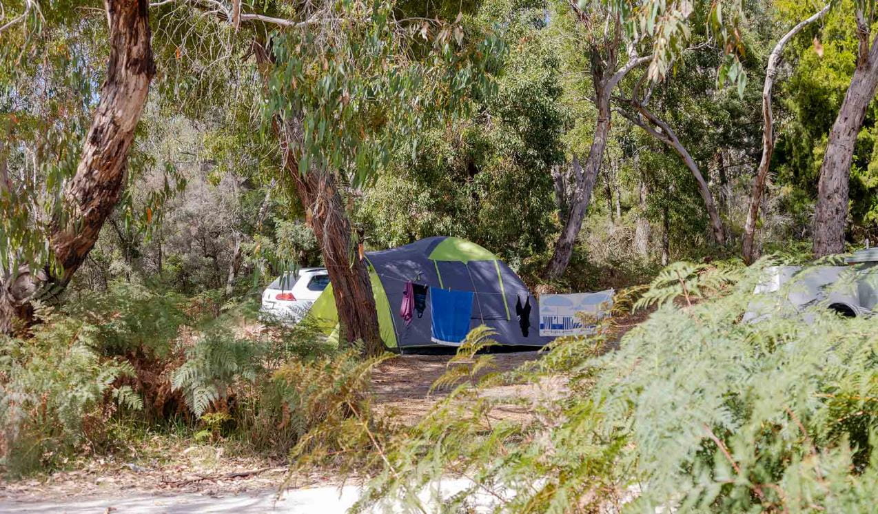
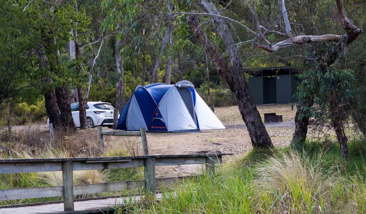
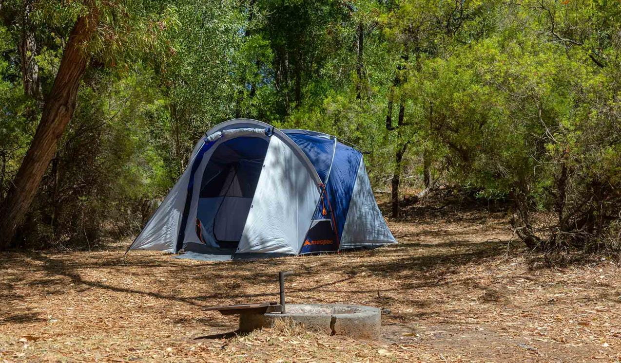
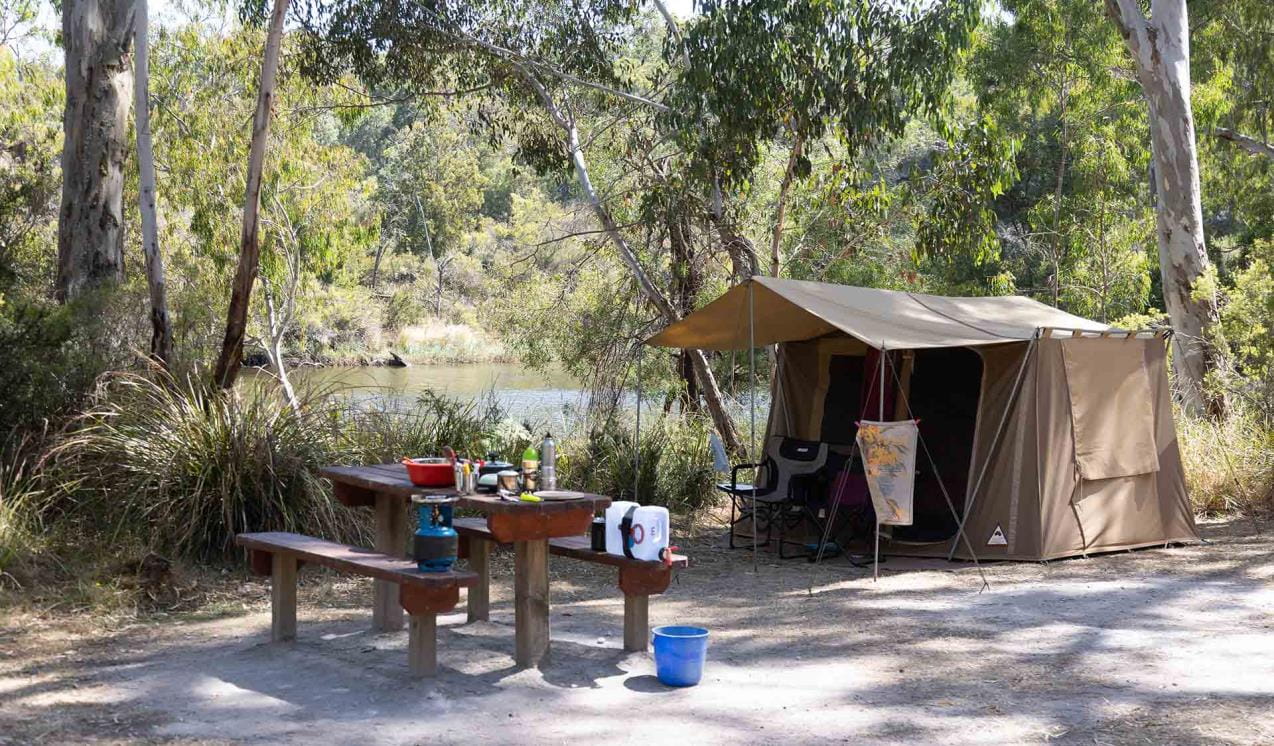
Escape the stresses of modern life with riverside camping along the banks of the Glenelg River. Go fishing, canoeing and kayaking in this spectacular river gorge surrounded by peaceful forest and join a tour of the Princess Margaret Rose Cave.
Discover the unique beauty found within the lower reaches of the Glenelg River – from jagged limestone cliffs to riverside gum trees harbouring koalas. See the area on foot by tackling the Great South West Walk. Set out on a day, overnight or multi-day journey.
If you don't have time to canoe or walk the river, a drive along its course is also pretty spectacular. There are picnic areas to stop and take it all in.
As rivers, lakes and reservoirs are natural environments, you may encounter hazards. Follow our water safety advice to make sure your day out at Lower Glenelg National Park is a safe and enjoyable one.


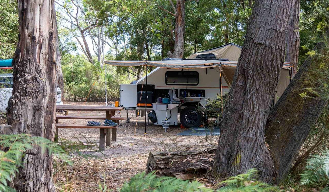
Battersby Campground
Unwind at the cosy Battersby Campground on the banks of the river. Try your luck fishing from the jetty, or relax at camp and enjoy the company of kangaroos and other native wildlife. There are two campsites.

Forest South Campground
Watch the sunrise turn the limestone cliffs red, and enjoy flat water canoeing or kayaking as you explore the river.
Hutchessons Campground
Take an easy drive to this quiet campground along the Glenelg River. Pitch a tent and watch for native wildlife as you listen to the river flow by. Launch a canoe or kayak and paddle up or down the peaceful water, or try your luck fishing from the jetty.

McLennans Punt Campground
Pitch a tent at this peaceful campground on the northern banks of the Glenelg River. Go canoeing or kayaking, or cast a line and see if you can catch bream or mulloway for dinner. Bring a pushbike and go for a ride, or take a walk and keep an eye out for native wildlife. There are three campsites.
Princess Margaret Rose Cave Campground
Set up camp on a grassy site at Princess Margaret Rose Cave Campground and enjoy the company of native wildlife in a peaceful bush setting. Base yourself here and explore one of the many walking trails in the area.
Red Gum Landing Campground
Pitch a tent at Red Gum Landing Campground and enjoy the serenity of the river. Launch a canoe or kayak and keep an eye out for native wildlife as you paddle along the water. Unwind at camp and drop a line to catch that elusive fish.

Wild Dog Bend Campground
Bring your tent or campertrailer to this quiet campground on the banks of the Glenelg River. Sit on the jetty and listen to the tranquil sounds of the river while you watch for wildlife. Set off to explore in your canoe or kayak, or go for a swim to cool down.
Wilson Hall Campground
Wilson Hall Campground is nestled among stringybark and banksia forest overlooking the river. Set up camp on the flat plain and make use of the convenient boat ramp. Launch your boat, canoe or kayak and explore the river, or go fishing for bream or mulloway. There are 12 campsites.
Tours and adventure experiences in parks
One of the best ways you can get into nature is with a Licensed Tour Operator.
There are more than 400 Licensed Tour Operators across Victoria who are ready and waiting to help you experience and connect with Victoria’s spectacular parks and waterways.
Discover more than 60 different types of nature-based experiences including hiking, mountain biking, boating, four-wheel driving, indigenous culture tours, birdwatching, surfing, diving and so much more.
Licensed Tour Operators know all the best places to go and will plan and prepare your visit to ensure you are safe and can enjoy your nature-based adventure to the fullest.
How to get there
Lower Glenelg National Park
When you're there
Need to know
Lower Glenelg National Park
Accessibility
Visiting a park can be more of a challenge for people with disabilities, however in Victoria there are a wide range of facilities to help people of all abilities enjoy our wonderful parks around the state.
Assistance dogs are welcome in Parks Victoria parks and reserves. Entry requirements apply for parks and reserves that are usually dog prohibited, such as national parks.