Explore
Great South West Walk Camping
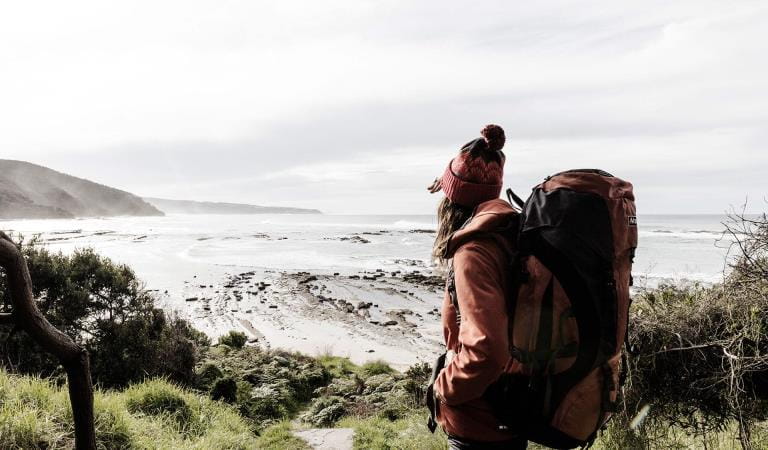
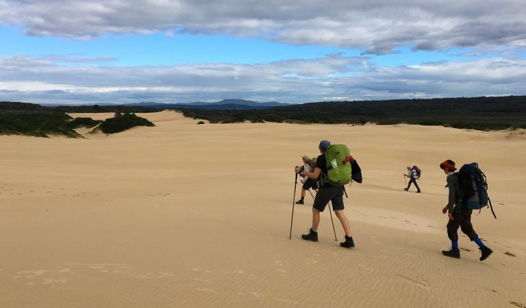
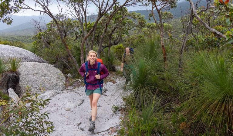
The Great South West Walk is an epic showcase of the natural beauty of far west Victoria. Meander through tranquil forests of the Cobboboonee, enter the limestone gorge of the Glenelg River and the long, lonely coast of Discovery Bay. Hike the epic 250 kilometres in one go or sample chunks of it as part of a day walk.
The Great South West Walk winds through the diverse landscapes of Lower Glenelg National Park, Discovery Bay Coastal Park, Cobboboonee National Park and Cape Nelson State Park. Starting from the township of Portland in south west Victoria, the walk takes you on an unforgettable journey across rugged cliffs carved by the Southern Ocean, over remote beaches, past ancient, pristine lakes and through majestic, tall forest.
The walk is maintained through a partnership between volunteers from Friends of the Great South West Walk and Parks Victoria.
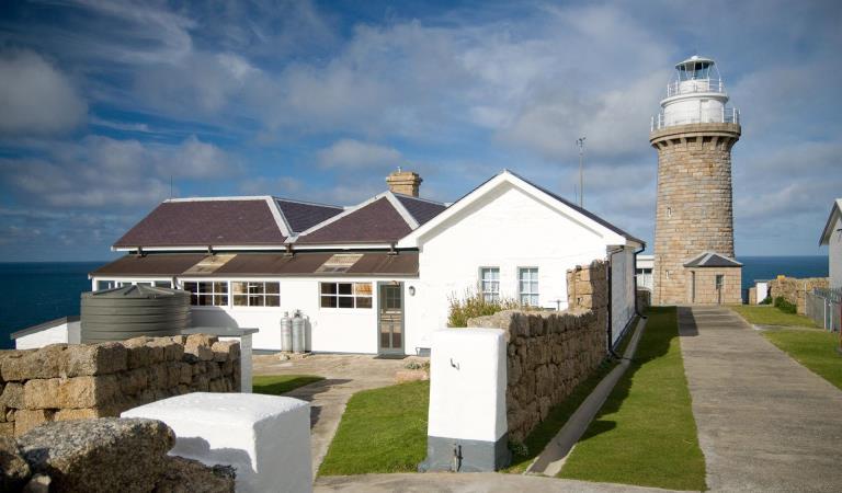
Memorable features include the highest seacliffs in Victoria, blowholes, Petrified Forest, and seal colony at Cape Bridgwater, historic Cape Nelson Lighthouse, Princess Margaret Rose Caves, Aboriginal heritage places and the beautiful seaside village of Nelson, where the Glenelg River meets the sea. Along the way you’ll discover a diverse variety of plants and wildlife such as koalas, kangaroos, Blue and Southern Right Whales, and a huge variety of native birds, including the Australasian Gannet.
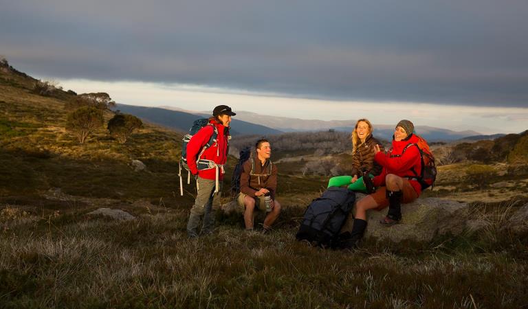
The Great South West Walk can be explored through shorter or overnight hikes, or the more adventurous can tackle the entire 250 kilometre, 12-day circular walk. If you prefer to return to a comfortable bed in the evening, there are many easily accessible, short loop walks from many locations that are part of this trail. Either way, you are destined to experience some of Australia's most beautiful natural scenery and wildlife.
There are also many other opportunities to engage in other activities, such as canoe journeys along the Glenelg River, along this walk.
Prepare and plan for your walk by booking your campsite before you arrive.
Find out more information about the Great South West Walk at greatsouthwestwalk.com
Things to do in the area
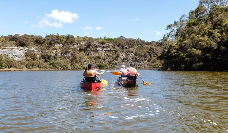
Glenelg River Canoe Trail
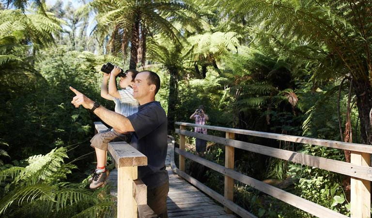
Bird watching
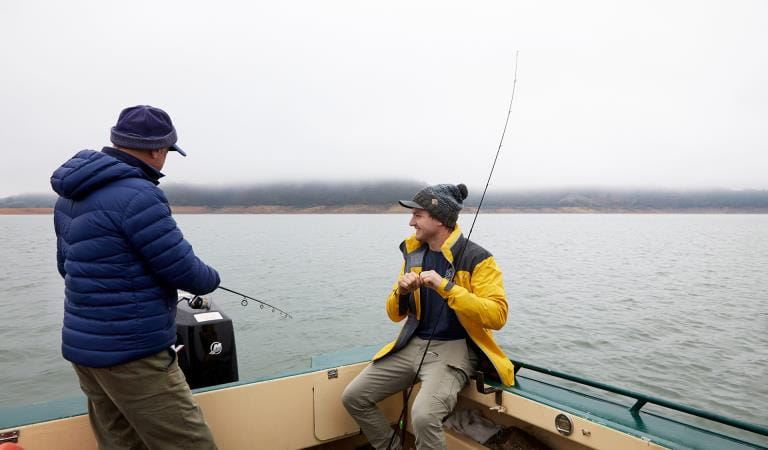
Fishing
How to get there
Great South West Walk Camping
Sites
When you're there
Visit the Friends website at www.greatsouthwestwalk.com to plan your walk and download maps and itineraries. This site also provides information on where to stay and useful information about natural features and wildlife and plants that you may see along the way.
The Friends of the Great South West Walk offer the helpful service of a walker liaison co-ordinator who can provide advice during planning for your walk and prior to your arrival.
Toilets are provided at campgrounds and tank water is available during the wetter months. Water must be treated before being used.
At each campground there is only one shelter and table so these facilities must be shared between campers.
Campfires are permitted in the fireplaces provided at each location except Mallee Camp which is a fuel stove only location. No fires (including fuel stoves) are permitted on days of Total Fire Ban or high fire danger. Only one fireplace is provided at each location so it must be shared between campers. Minimum amounts of fallen, dry firewood can be collected but fuel stoves are preferred at all locations.
Hike-in campsites are designated for hikers only. Canoe and vehicle-based visitors are not permitted to use the hike-in campsites.
Need to know
Great South West Walk Camping
Accessibility
Visiting a park can be more of a challenge for people with disabilities, however in Victoria there are a wide range of facilities to help people of all abilities enjoy our wonderful parks around the state.
Be prepared and stay safe
Lower Glenelg National Park is in the South West fire district. Bushfires can occur during the warmer months. It is your responsibility to check current and forecast weather conditions. Campfires cannot be lit on days of Total Fire Ban, however gas cookers can be used for preparing food.
Check the Fire Danger Rating and for days of Total Fire Ban at emergency.vic.gov.au, on the Vic Emergency App or call the Vic Emergency Hotline 1800 226 226.
Change of Conditions
Nature being nature, sometimes conditions can change at short notice. It’s a good idea to check this page ahead of your visit for any updates.
-
Cobboboonee National Park
Closed - Surry Ridge Campground
Surry Ridge Campground in Cobboboonee National Park is closed due to lack of toilet facilities. Camping overnight is not permitted at Surry Ridge campground. The Surry Ridge picnic ground is available for day visitor use. The nearest available campgrounds in Cobboboonee National Park are Wrights Campground located on Wrights Swamp Road and Jackass Fern Gully Campground located on T & W Road. Both campgrounds are free to use and do not require booking.
Similar experiences at other parks
Glenelg River Canoe Trail
Great Ocean Walk
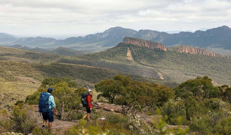
Grampians Peaks Trail
Falls to Hotham Alpine Crossing
Burchell Trail
Wilderness Coast Walk
Wilsons Promontory Southern Circuit Overnight Hikes