


Tali Karng is a hidden jewel nestled deep in the mountains of Gippsland, fed by snowmelt waters of the Wellington Plains. Accessible only by walking track, this tranquil lake is sacred to the Gunaikurnai people. Please treat the area with respect, and do not camp at the lake.
The trip to Tali Karng is an adventurer's dream. Three walking tracks lead to the lake, ranging from 13km to 20km one-way. Whichever you take, you'll need to be fit and experienced, and have everything you need for a full day's walk on hand (see the Visitor Guide for more details).
Each of the tracks offers a different landscape to experience. Trek across Wellington Plains or ford the Wellington River. The remoteness of the area makes it a magnificent camping spot.
Make camp at Nyimba Camp near the southern end of the Wellington Plains walking track, or below the lake in the Valley of Destruction. Nyimba Camp has toilets and fireplaces.
Tali Karng is the only natural lake within the Victorian Alps. Held behind a rock barrier created thousands of years ago, the underground stream it feeds emerges at the infant Wellington River 150m below in the Valley of Destruction.
The first people to call this area home were the Gunaikurnai people, most likely members of the Brayakaulung clan. Aboriginal people guided many European explorers and gold miners through the mountains along well-used pathways, which now form some of today's road and track network.
Tali Karng is a sacred place to the Gunaikurnai and in keeping with their law, Aboriginal people are forbidden to go there.
Aboriginal people do not oppose non-indigenous people visiting Tali Karng as long as they treat the area with respect. Camping at the lake is disrespectful, so please treat the area with care as you pass by the lake and camp elsewhere.
Things To Do
This area is well known for its wildlife. Keep an eye out for:
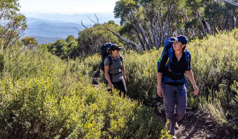
Hiking in Alpine National Park
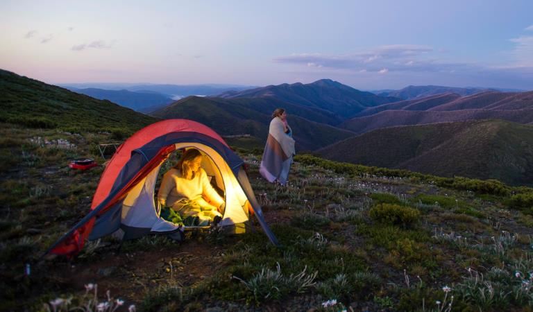
Dispersed camping in Alpine National Park
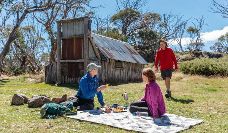
Alpine Discovery Days
How to get there
Tali Karng
When you're there
Need to know
Tali Karng
Accessibility
Visiting a park can be more of a challenge for people with disabilities, however in Victoria there are a wide range of facilities to help people of all abilities enjoy our wonderful parks around the state.
Assistance dogs are welcome in Parks Victoria parks and reserves. Entry requirements apply for parks and reserves that are usually dog prohibited, such as national parks.
Safety in nature
To ensure that you and your companions stay safe, always remember that the natural environment can be unpredictable. Before you go, take a look at our safety tips and check our changed conditions and closures information for a great visit.
Change of Conditions
Nature being nature, sometimes conditions can change at short notice. It’s a good idea to check this page ahead of your visit for any updates.
-
Alpine National Park
Cobberas, Ingeegoodbee and Macfarlane Flat Track closures.
The following tracks have been significantly damaged by storms and floods and are currently closed to motor vehicles to ensure public safety and environmental protection:- Cobberas Track
- Macfarlane Flat Track
- Ingeegoodbee Track
The tracks are likely to remain closed to motor vehicles until detailed site assessments have been completed. It is difficult to predict when planning approvals will be obtained to allow for repairs to commence.
Before visiting, visitors should check the Parks Victoria website for the latest information about their destination.Attachments: FAQs for Cobberas ingeegoodbee and mcfarlane tks (128KB)
Alpine National Park: road and track closures
These roads and tracks are closed due to current weather conditions at alpine elevations:
- Dargo High Plains Road
- Blue Rag Range Track
- Basalt North Track
- Twins Track
- Twins Jeep Track
- Mount Murray Track North
- Gunns Track
These tracks will remain closed until seasonal closure openings on 29 October 2026.In the interest of public safety, Victoria Police, Department of Energy Environment and Climate Action (DEECA) and Parks Victoria closed these high elevation alpine roads and tracks in State Forest and the Alpine National Park.Ground shooting operations targeting deer
Control operations (ground shooting) targeting deer are undertaken in this area. The Park will remain open to visitors during these operations.For more information about Parks Victoria deer control to protect biodiversity, please visit: https://www.parks.vic.gov.au/get-into-nature/conservation-and-science/conserving-our-parks/feral-animals/deer -
Beveridge Station Camping Area (Alpine National Park, UNKNOWN)
Change of Condition Alpine NP – Road & Track Closures:
Dargo High Plains Road, Blue Rag Range Track, Basalt North Track, Twins Track, Twins Jeep Track, Mount Murray Track North and Gunns Track.Due to current weather conditions at alpine elevations and in the interest of public safety Victoria Police, Department of Energy Environment and Climate Action (DEECA) and Parks Victoria will be closing the above-mentioned high elevation alpine roads and tracks in State Forest and the Alpine NP. These tracks will now remain closed until seasonal closure openings on the 29th of October 2026. -
Pinnacles Lookout Day Visitor Area (Pinnacle Ck - East Branch Natural Catchment Area, Alpine National Park)
Fire Recovery Works
The Pinnacles Lookout Day Visitor area is currently closed to visitors for repair works to reinstate assets damaged during the 2025-26 Wonnangatta Dargo Complex fires. Works are expected to be finished by the 1st of November 2026 and access will be reinstated. -
Notices Affecting Multiple Parks
Planned aerial shooting operations targeting deer
The following Parks will have some areas closed while aerial shooting operations are undertaken.Alpine National Park - Bogong High Plains, Dinner Plain, Mt FeathertopMt Buffalo National Park16-20 November & 23-27 November 20261-5 and 8-12 February 2027Popular visitor sites, walking trails and campgrounds are generally excluded from treatment areas and will remain open to visitors.More information and maps with details on access restrictions be posted here in the coming weeks.Ground shooting operations targeting deer
Control operations (ground shooting) targeting deer are undertaken in this area. The Park will remain open to visitors during operations.
Explore Alpine National Park
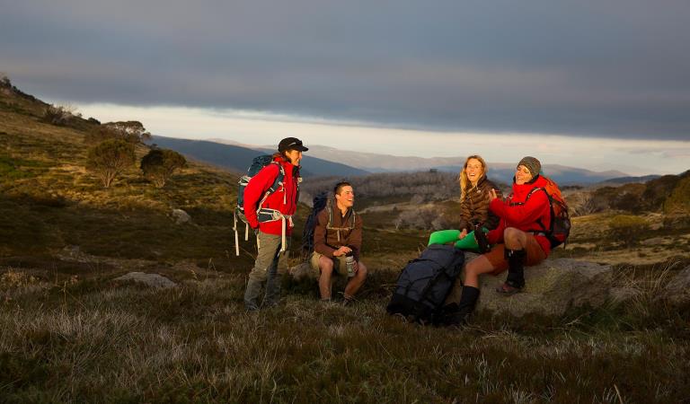
Falls to Hotham Alpine Crossing
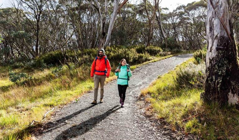
Brabralung Trail
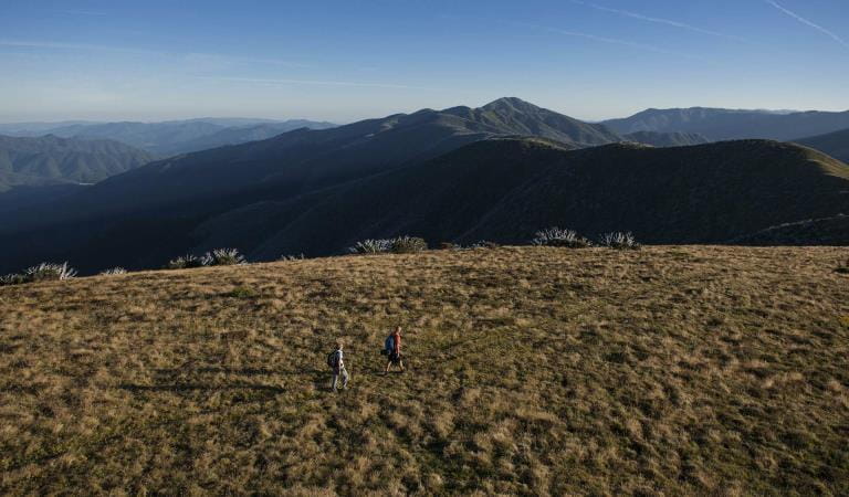
Mount Feathertop
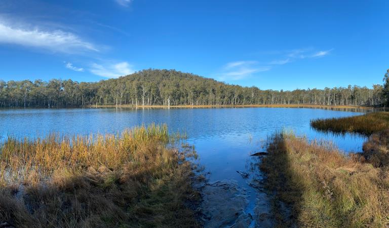
Lake Cobbler
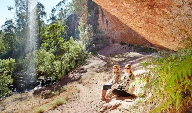
Paradise Falls
