


See Victoria’s tallest waterfall, Dandongadale Falls, plunge 255 metres over a sheer cliff face and disappear into the Ross River below. Visit Paradise Falls, where a fine silver mist spills over a red conglomerate ledge or the quaint Little Falls nestled in a narrow fern-laden gully.
Climb Mount Howitt where fine views of the Crosscut Saw, Mount Speculation and the Terrible Hollow unfold. The huge escarpments of The Bluff may seem forbidding, but natural breaks allow a fairly easy scramble to the top. Take in the views of wildflower-strewn plains and Lake Eildon and Mount Buller in the distance. The Australian Alps Walking Trail also makes its final journey through the Alpine National Park before meandering east towards Walhalla.
Although accessible from various points within the Alpine National Park, you can access the iconic Wonnangatta Drive from Mansfield. This 4WD journey takes in the historic mountain huts, finding your way to the Wonnangatta Valley, the mysterious Wonnangatta Station and old goldmining town of Talbotville.
Things To Do
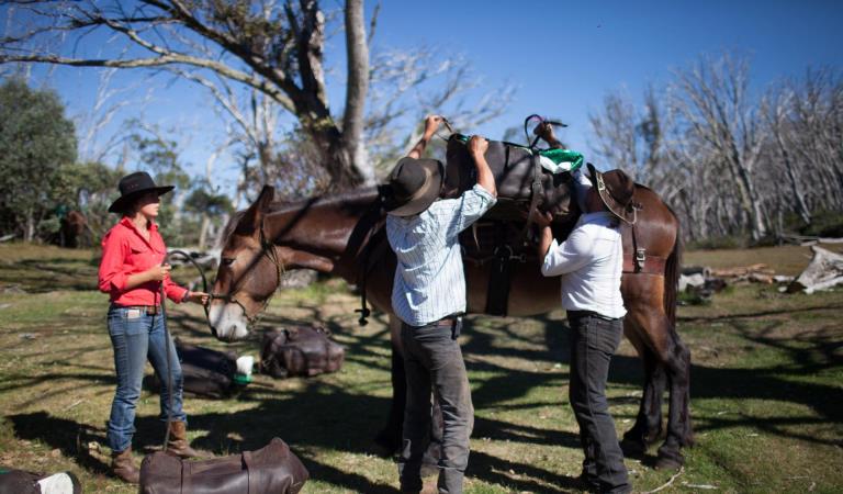
Camping with your horse in Alpine National Park and Howqua Hills
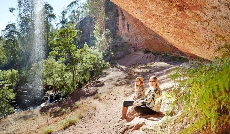
Paradise Falls
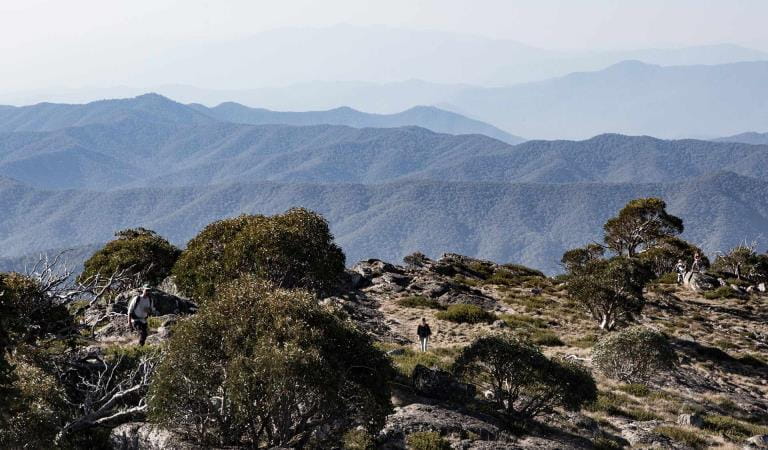
Mount Cobbler Walk
How to get there
Mansfield and Whitfield
When you're there
Many visitors enjoy exploring the historic huts in the area and camping in near by camping areas on the banks of the Howqua or King Rivers.
The iconic Wonnangatta Four Wheel Drive is easily accessible from Mansfield and opens opportunities to explore the more remote corners of the park. Download the Mansfield and Whitfield Visitor Guide for more information about this part of the park.
When to go
Need to know
Mansfield and Whitfield
Accessibility
Visiting a park can be more of a challenge for people with disabilities, however in Victoria there are a wide range of facilities to help people of all abilities enjoy our wonderful parks around the state.
Most access is via 4WD vehicle, some 2WD sites are Paradise Falls, Bennies Camping Area, Lake Cobbler, Upper Howqua Camping Area (dry weather only).
A large portion of 4WD tracks are closed from the Thursday after the Queens Birthday long weekend in June, and generally reopen on the 1 November. Check with the local Parks Office for up to date information regarding track closures.
Assistance dogs are welcome in Parks Victoria parks and reserves. Entry requirements apply for parks and reserves that are usually dog prohibited, such as national parks.
Alpine back country winter safety
Safe backcountry travel in Victorian Alpine areas during winter requires training and experience. You control your risk by choosing how, when and where you travel, and the activities you participate in.
Change of Conditions
Nature being nature, sometimes conditions can change at short notice. It’s a good idea to check this page ahead of your visit for any updates.
-
Alpine National Park
Cobberas, Ingeegoodbee and Macfarlane Flat Track closures.
The following tracks have been significantly damaged by storms and floods and are currently closed to motor vehicles to ensure public safety and environmental protection:- Cobberas Track
- Macfarlane Flat Track
- Ingeegoodbee Track
The tracks are likely to remain closed to motor vehicles until detailed site assessments have been completed. It is difficult to predict when planning approvals will be obtained to allow for repairs to commence.
Before visiting, visitors should check the Parks Victoria website for the latest information about their destination.Attachments: FAQs for Cobberas ingeegoodbee and mcfarlane tks (128KB)
Alpine National Park: road and track closures
These roads and tracks are closed due to current weather conditions at alpine elevations:
- Dargo High Plains Road
- Blue Rag Range Track
- Basalt North Track
- Twins Track
- Twins Jeep Track
- Mount Murray Track North
- Gunns Track
These tracks will remain closed until seasonal closure openings on 29 October 2026.In the interest of public safety, Victoria Police, Department of Energy Environment and Climate Action (DEECA) and Parks Victoria closed these high elevation alpine roads and tracks in State Forest and the Alpine National Park.Ground shooting operations targeting deer
Control operations (ground shooting) targeting deer are undertaken in this area. The Park will remain open to visitors during these operations.For more information about Parks Victoria deer control to protect biodiversity, please visit: https://www.parks.vic.gov.au/get-into-nature/conservation-and-science/conserving-our-parks/feral-animals/deer -
Beveridge Station Camping Area (Alpine National Park, UNKNOWN)
Change of Condition Alpine NP – Road & Track Closures:
Dargo High Plains Road, Blue Rag Range Track, Basalt North Track, Twins Track, Twins Jeep Track, Mount Murray Track North and Gunns Track.Due to current weather conditions at alpine elevations and in the interest of public safety Victoria Police, Department of Energy Environment and Climate Action (DEECA) and Parks Victoria will be closing the above-mentioned high elevation alpine roads and tracks in State Forest and the Alpine NP. These tracks will now remain closed until seasonal closure openings on the 29th of October 2026. -
Pinnacles Lookout Day Visitor Area (Pinnacle Ck - East Branch Natural Catchment Area, Alpine National Park)
Fire Recovery Works
The Pinnacles Lookout Day Visitor area is currently closed to visitors for repair works to reinstate assets damaged during the 2025-26 Wonnangatta Dargo Complex fires. Works are expected to be finished by the 1st of November 2026 and access will be reinstated. -
Notices Affecting Multiple Parks
Planned aerial shooting operations targeting deer
The following Parks will have some areas closed while aerial shooting operations are undertaken.Alpine National Park - Bogong High Plains, Dinner Plain, Mt FeathertopMt Buffalo National Park16-20 November & 23-27 November 20261-5 and 8-12 February 2027Popular visitor sites, walking trails and campgrounds are generally excluded from treatment areas and will remain open to visitors.More information and maps with details on access restrictions be posted here in the coming weeks.Ground shooting operations targeting deer
Control operations (ground shooting) targeting deer are undertaken in this area. The Park will remain open to visitors during operations.