


From panorama-prone hikes across wildflower draped ridgelines to cross-country ski trails through twisted snowgums and fresh mountain air, Bright, Feathertop and Dinner Plain has it all. Conquer Victoria’s second highest peak, Mount Feathertop, ski the slopes of Mount Hotham or mountain bike between Dinner Plain and Hotham along the Brabralung Trail.
Mount Feathertop via The Razorback follows an exposed ridgeline, linking the popular Mount Hotham Alpine Resort to the top of Victoria’s second highest peak. Although it falls 64-metres short of Mount Bogong’s record, it is arguably Victoria’s most spectacular peak. Through spring and summer, the slopes and alpine plains are carpeted in a sea of wildflowers. Among masses of alpine daisies, Billy Buttons poke through the vestiges of the remaining snow drifts.
For a change in scenery, follow the Bungalow Spur Walk from the quaint town of Harrietville and climb over 1300-metres to reach the pinnacle of Mount Feathertop. Sheltered from the harsh alpine conditions, for the most part, take a break at Federation Hut before making the final ascent to the top.
For shorter, family-friendly walks, set out on the Bungalow Spur Walk to Picture Point or Tobias Gap for views over the Ovens Valley. Or opt for a walk out to Carmichael Falls, where the confluence of the Precipice and Dinner Plain Creeks plunges 25-metres to the headwaters of the Dargo River.
Stay a night or two in the comfort of Harrietville, Mount Hotham or Dinner Plain, all cool havens through the summer months. The Brabralung Trail running between Dinner Plain Alpine Village and Mount Hotham Alpine Resort too is wonderful. Suited to cross-country skiing and snowshoeing in winter, and ideal for mountain biking, walking and trail running once the snow has melted, the 12-kilometre trail is not to be missed.
The bike-friendly towns of Dinner Plain and Hotham offer thrilling mountain biking and road cycling experiences - with the benefits of spectacular alpine vistas around every corner. Mountain bike through Snow Gums along The Brabralung Trail, or challenge yourself with the 7-Peaks ascent to the top of Hotham or Dinner Plain. And visit the Dinner Plain Alpine Village to access over 35-kilometres of singletrack mountain bike trails.
Things To Do
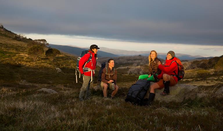
Falls to Hotham Alpine Crossing
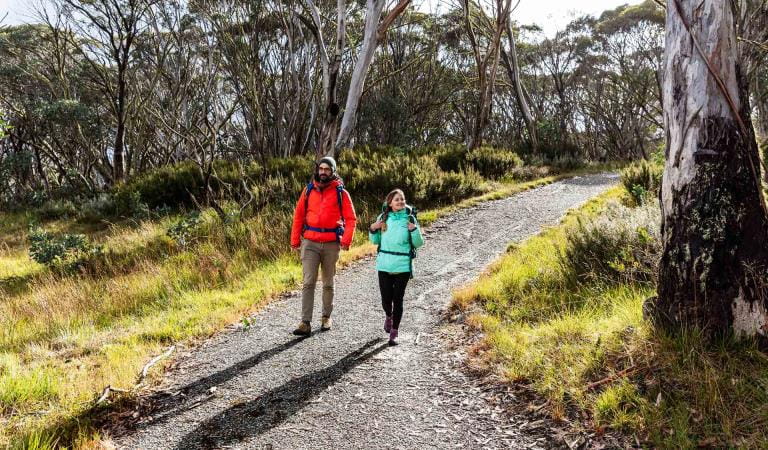
Brabralung Trail
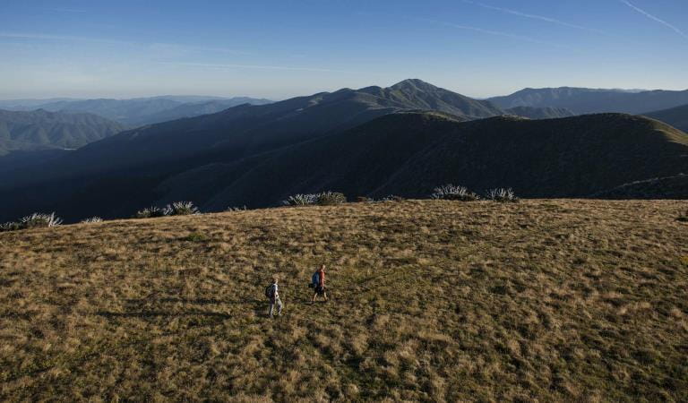
Mount Feathertop
How to get there
Bright, Feathertop and Dinner Plain
Alpine back country winter safety
When to go
Need to know
Bright, Feathertop and Dinner Plain
Accessibility
Visiting a park can be more of a challenge for people with disabilities, however in Victoria there are a wide range of facilities to help people of all abilities enjoy our wonderful parks around the state.
An all-terrain wheelchair known as the TrailRider is available for free hire from the Mount Beauty Visitor Information Centre. Visitors must supply their own helmets. For more information, contact the Mount Beauty Visitor Information Centre on 1800 11 885.
Assistance dogs are welcome in Parks Victoria parks and reserves. Entry requirements apply for parks and reserves that are usually dog prohibited, such as national parks.
Change of Conditions
Nature being nature, sometimes conditions can change at short notice. It’s a good idea to check this page ahead of your visit for any updates.
-
Alpine National Park
Cobberas, Ingeegoodbee and Macfarlane Flat Track closures.
The following tracks have been significantly damaged by storms and floods and are currently closed to motor vehicles to ensure public safety and environmental protection:- Cobberas Track
- Macfarlane Flat Track
- Ingeegoodbee Track
The tracks are likely to remain closed to motor vehicles until detailed site assessments have been completed. It is difficult to predict when planning approvals will be obtained to allow for repairs to commence.
Before visiting, visitors should check the Parks Victoria website for the latest information about their destination.Attachments: FAQs for Cobberas ingeegoodbee and mcfarlane tks (128KB)
Alpine National Park: road and track closures
These roads and tracks are closed due to current weather conditions at alpine elevations:
- Dargo High Plains Road
- Blue Rag Range Track
- Basalt North Track
- Twins Track
- Twins Jeep Track
- Mount Murray Track North
- Gunns Track
These tracks will remain closed until seasonal closure openings on 29 October 2026.In the interest of public safety, Victoria Police, Department of Energy Environment and Climate Action (DEECA) and Parks Victoria closed these high elevation alpine roads and tracks in State Forest and the Alpine National Park.Ground shooting operations targeting deer
Control operations (ground shooting) targeting deer are undertaken in this area. The Park will remain open to visitors during these operations.For more information about Parks Victoria deer control to protect biodiversity, please visit: https://www.parks.vic.gov.au/get-into-nature/conservation-and-science/conserving-our-parks/feral-animals/deer -
Beveridge Station Camping Area (Alpine National Park, UNKNOWN)
Change of Condition Alpine NP – Road & Track Closures:
Dargo High Plains Road, Blue Rag Range Track, Basalt North Track, Twins Track, Twins Jeep Track, Mount Murray Track North and Gunns Track.Due to current weather conditions at alpine elevations and in the interest of public safety Victoria Police, Department of Energy Environment and Climate Action (DEECA) and Parks Victoria will be closing the above-mentioned high elevation alpine roads and tracks in State Forest and the Alpine NP. These tracks will now remain closed until seasonal closure openings on the 29th of October 2026. -
Pinnacles Lookout Day Visitor Area (Pinnacle Ck - East Branch Natural Catchment Area, Alpine National Park)
Fire Recovery Works
The Pinnacles Lookout Day Visitor area is currently closed to visitors for repair works to reinstate assets damaged during the 2025-26 Wonnangatta Dargo Complex fires. Works are expected to be finished by the 1st of November 2026 and access will be reinstated. -
Notices Affecting Multiple Parks
Planned aerial shooting operations targeting deer
The following Parks will have some areas closed while aerial shooting operations are undertaken.Alpine National Park - Bogong High Plains, Dinner Plain, Mt FeathertopMt Buffalo National Park16-20 November & 23-27 November 20261-5 and 8-12 February 2027Popular visitor sites, walking trails and campgrounds are generally excluded from treatment areas and will remain open to visitors.More information and maps with details on access restrictions be posted here in the coming weeks.Ground shooting operations targeting deer
Control operations (ground shooting) targeting deer are undertaken in this area. The Park will remain open to visitors during operations.