Buckle Down (Lysterfield Park)

Explore

Buckle Down (Lysterfield Park)

Packed with plenty of berms and optional b-lines, the Buckle Down Trail flows through stands of open eucalypt forest and connects Follow Me trail to the Lower Buckle mountain bike trail.

Buckle down mlountain bike trail is 0.30km and rated Grade C-more difficult (blue square)

How to get there

Buckle Down (Lysterfield Park)

Need to know

Buckle Down (Lysterfield Park)

Warnings & Restrictions

Dogs

Dogs are not allowed

Restrictions

  • No dogs allowed
  • No firearms allowed
  • No camping
  • No fires permitted
  • No horses

Warnings

  • Other warnings
    • Trees may fall take care
    • Limbs may fall take care

Be Prepared

Stay safe and get the most out of your park visit by preparing for natural hazards and other outdoor risks in Victoria’s parks. You are responsible for your own safety and the safety of those in your care. Find out more.

Change of Conditions

Nature being nature, sometimes conditions can change at short notice. It’s a good idea to check this page ahead of your visit for any updates.

Some barbeques not in operation
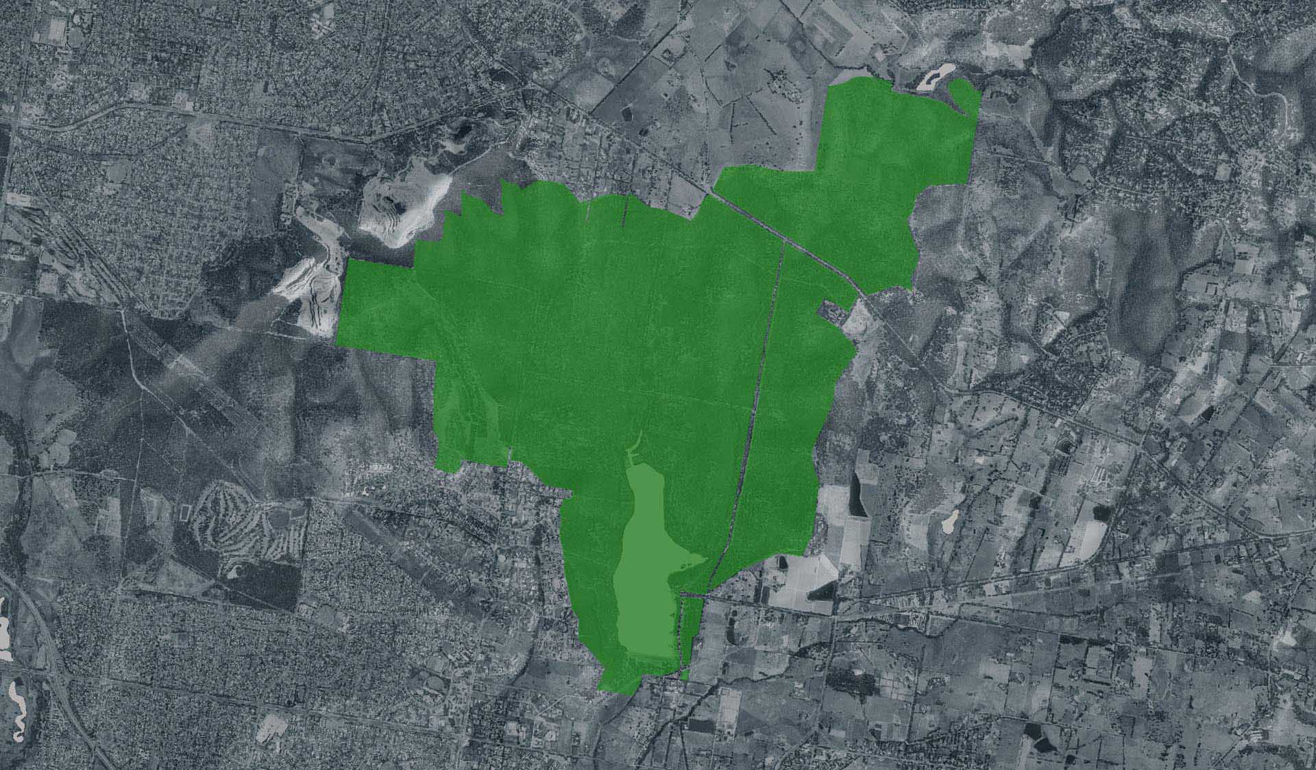
Parks Victoria is carrying out inspections in all of our barbecues in our parks. Following these inspections, some barbecues have been temporarily closed until they can be attended by a licenced contractor. We apologise for the inconvenience this has caused.
Visitor safety is our top priority and we advise people to please not to use any barbecue facilities that have been closed. We expect the impacted barbecues to reopen in the coming weeks.

Beach block toilet closure

The Lysterfield Park Beach block toilets (next to the Beach Area carpark) are closed until the 01/09/2025. Additional toilets are located at the boat launch area, approx. 300m North.

Granite Peak Trail - Grassy Spur Section Closed

Part of the Grassy Spur section, between Trig Point and the Woodland Walk junction, is temporary closed until the 21st July. Please plan your detour route along Woodland Walk or Lysterfield Hills and Valley View Track.

There is a detour map attached.

We apologise for any inconvenience while important trail maintnance works are completed nearby. 

Attachments: GPT Detour Map (268KB)

State Mountain Bike Course (SMBC) - Downhill Section Closed

Part of the downhill section of the State Mountain Bike Course, between Trig Point and the end of the SMBC boardwalk, is temporarily closed until further notice. Please follow the detour signage on site back along Lysterfield Hills Track, Valley View Track and onto the SMBC after the end of the boardwalk section.


Please note that Granite Peak Trail - Grassy Spur Section is also closed from 17th July until 21st July, and cannot be used for access.

There is a detour map attached.

We apologise for any inconvenience while the Lysterfield District Trail Riders complete important trail maintenance works.

X
By using our site you accept that we use and share cookies and similar technologies with certain approved third parties. These tools enable us to improve your website experience and to provide content and ads tailored to your interests. By continuing to use our site you consent to this. Please see our Privacy Policy for more information.
Confirm